
White Bear Lake Previous Sources
The trail for previous residents begins with a question about time. The county deed chain is the best route for ownership. White Bear Lake permits give a more recent property timeline. Local newspapers, directories, and census material add household evidence. The White Bear Lake Area Historical Society holds several resources that make this place-specific work possible, including old and new address cross-references, local newspapers, maps, census spreadsheets, and minutes. The table separates documented coverage from sources whose exact online run has not been published.
| Source | Years it covers | Where held | What it shows |
|---|---|---|---|
| Ramsey deed registers | 1844 forward; state inventory runs to 1958 | Recorder, MNHS, and county microfilm | Recorded land transfers and legal descriptions. |
| RecordEASE | Current online coverage not stated as one cutoff | Ramsey Recorder Web portal | Document index, images, parties, and title-transfer fields. |
| White Bear Lake ePermit | 1988 forward online | City ePermit and City Hall archives | Permit and inspection history by property. |
| Local newspapers | 1887 through 2005; index 1887 through 1988 | WBLAHS Reference Library | Notices, obituaries, addresses, and community context. |
| Census spreadsheets | 1860 through 1930 | WBLAHS Online Research | Household evidence under changing local labels. |
| Polk and suburban directories | 1950 verified; suburban reels 1958 through 1960 | Google Books, MNHS, and reference channels | Dated name, address, relationship, and occupation clues. |
Use the property record first when the address is known. Use a local directory, newspaper, or census source first when the time period is known but the address must be reconstructed. Neither approach should skip the legal-description check when a parcel changed shape or a street number changed.
White Bear Lake Parcel Records
Freeze the modern parcel before trying to identify previous residents. The Ramsey County Property Tax and Value Lookup can be searched by site address, owner name, parcel or PIN, city, ZIP, or map selection. Record the site address, PIN, legal description, ownership category, and the date or field labels shown. Ramsey's GIS fields distinguish owner mailing address, tax address, homestead address, and situs address. Those are not interchangeable, and none alone identifies every person who lived at the property.
MapRamsey can confirm the parcel polygon and expose the surrounding lot pattern, aerial context, classifications, and administrative boundaries. Use it to compare the legal parcel to the street location, then carry the PIN and legal description to the recorder. A White Bear Lake mailing line is not enough by itself because local postal geography crosses municipal and county lines. The parcel record is the fixed point that lets the rest of the address history be tested.
Note: Capture the PIN and legal description before chasing names, because those two fields are more stable than a modern mailing address.
White Bear Lake Deed Records
The Ramsey Recorder and Registrar of Titles keeps the ownership record trail. Begin with the current parcel's legal description, then use RecordEASE to locate the latest document that transfers title. The online sample fields include land type, document number, recorded date and time, title-transfer marker, document name, references, grantors, grantees, and legal descriptions. Write those details down in order. A deed moves title, not necessarily a household, so it is the backbone for ownership history rather than a complete previous-resident list.
- Search the current parcel by its legal description, lot and block, or other documented record key. Locate the newest deed that has a title-transfer marker.
- Confirm that the deed's legal description matches the modern parcel. Save the document number, recording date, land type, grantor, and grantee.
- Use the newer deed's grantor, the seller, as the grantee in an earlier purchase search. Confirm the same legal description before linking the records.
- Repeat the grantee-to-prior-grantor move one transfer at a time. Keep mortgages, assignments, satisfactions, and other non-title documents separate from the transfer chain.
- When an online search is incomplete, take the document number, book and page, PIN, or legal description to the Property Records Resource Center or ask for the historic microfilm route.
The RecordEASE search instructions show the Book Type, Book number, and Page approach used for index books. The recorder's scanned index groups are 25-page PDFs, with a group start ending in 1 or 6.
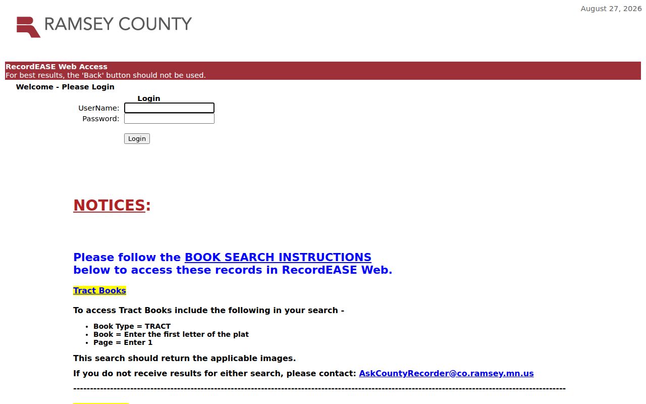
That book-search detail matters when a name-only search has not surfaced a record. Do not claim that RecordEASE starts in a particular online year: Ramsey identifies the electronic-recording milestone, not a single online grantor-grantee start date.
White Bear Lake Title Records
Ramsey County has both Abstract and Torrens land. Abstract land follows the recorded-document chain. Torrens land is registered, and its certificate of title identifies the owner, land description, liens, encumbrances, and interests. The Examiner of Titles handles judicial and administrative Torrens duties. A mixed Abstract and Torrens situation can require separate submissions and fees, so the land type in the record is an important early check.
- Grantor
- The party transferring an interest in a recorded document, often the seller in a deed trail.
- Grantee
- The party receiving an interest. In a backward chain, an earlier purchase is often found by searching the later seller as a grantee.
- Chain of title
- The ordered series of title transfers for the same legal parcel. It is not a list of all occupants.
- Legal description
- The recorded land description, such as an addition, lot and block, or metes-and-bounds description. It is safer than an address for older records.
Ramsey's sample legal-description search displays title-transfer, document, date, party, and legal-description columns. It also warns that partial lots, unplatted land, and block-level descriptions can return records beyond the exact parcel.
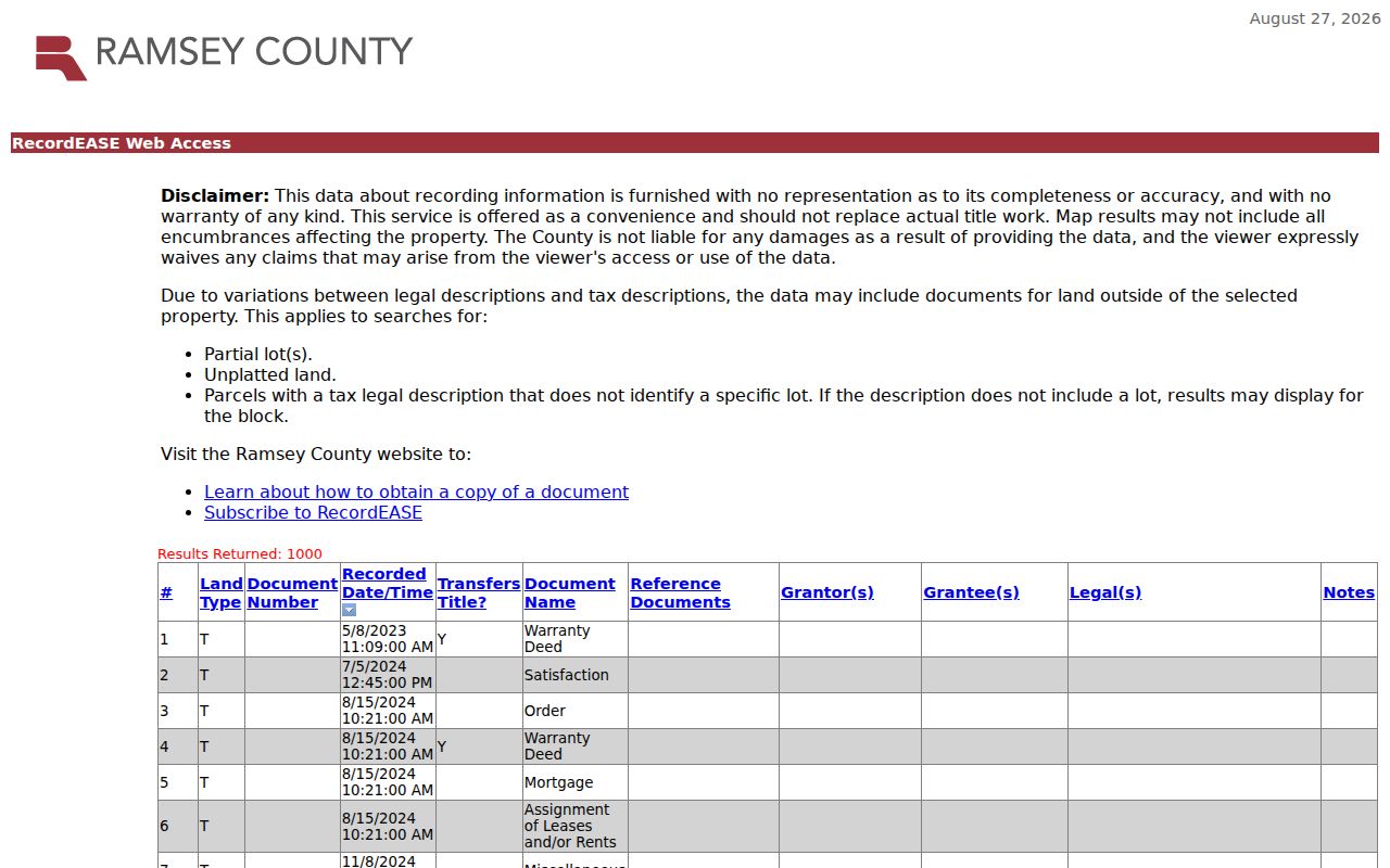
Compare that result with the parcel record each time. A similar address or surname is a lead, not enough to join two historical transfers.
White Bear Lake Historic Records
The historic deed route is deeper than the web portal. The Minnesota Historical Society finding aid describes Ramsey Register of Deeds books beginning in 1844, including a St. Croix County volume from June 1844 through May 1850 and Ramsey volumes beginning in November 1849. It reports a complete county microfilm set and consolidated index. A state inventory identifies Ramsey deed registers from 1844 through 1958. Those records make 1844 the documented starting point for this historical land trail, not the start of modern online searching.
RecordEASE says Ramsey began electronic recording on April 24, 2014. That date marks a recording transition, not the beginning of Ramsey land evidence. For an older deed that is not found online, use the Recorder's counter and the Minnesota Historical Society finding aid or microfilm route. Ask for the appropriate book, page, document, or legal-description index rather than assuming a current portal search is exhaustive.
Note: A missing online result may signal an indexing or access boundary, so check the county microfilm and historical-register path before ending a deed trail.
White Bear Lake Address Shift
The White Bear Lake Area Historical Society's 1980s building-renumbering files are a valuable local quirk. The Society offers both old-address and new-address sort orders, so an address from a newspaper, directory, permit, or deed research note can be translated before it is searched in a current parcel tool. Washington Avenue was formerly Railroad Avenue, another reason to test the historical form instead of treating a failed current-name search as final.
Use plat maps and atlases to test the street pattern when the number bridge is unclear. WBLAHS holds 1898 and 1901 plat maps and a 1908 atlas. They can show lots, roads, owners, and subdivision layout. They do not prove that every person named near a parcel resided there, but they can resolve whether a historic road, block, or addition matches the current legal description.
White Bear Lake Property Records
White Bear Lake ePermit provides permit and inspection history from 1988 for city properties. Older permits and plans, reaching back from 1992, are archived at City Hall. Permit dates can establish a chronology for construction, additions, or work at an address. They may show an owner, applicant, contractor, permit type, inspection, or result, but the presence of a name in a permit field is not the same as evidence of a household.
For older property material, request the address and date range from the city records side. The citywide permits and licenses page routes building, fire, police, property-code, right-of-way, and related records. A written Ramsey County data-practices request is an additional path for county-held public data. Ask to inspect or receive copies, describe the exact record needed, and retain the response date with the rest of the house-history notes.
White Bear Lake Previous Households
Ownership and household history should be paired, not blended. The White Bear Lake Area Historical Society's online research includes census spreadsheets from 1860 through 1930. Its labels distinguish White Bear Township, Village of White Bear, City of White Bear Lake, Birchwood, Dellwood, and Lincoln Township. A person who seems to disappear may be listed under a different political unit. Federal census releases follow the 72-year rule, so 1950 is public while later federal schedules remain on their release timetable.
- Choose a dated deed, permit, newspaper, or directory entry for the address and write down the historic address form.
- Convert the number through the 1980s cross-reference when necessary, then test the street on the relevant plat or map.
- Search the closest census spreadsheet under every plausible White Bear community label. Record the household date and location label exactly as shown.
- Use a directory or newspaper item from the same period to test the name-address relationship, then return to the deed chain to separate owner from occupant.
The process is intentionally dated. A household entry supports a connection for that edition or census year, not a claim that the same people lived there before or after the record's date.
White Bear Lake Directory Traces
The 1950 R.L. Polk St. Paul and Ramsey County directory is a verified White Bear Lake directory lead. It has White Bear Lake in searchable text, while a St. Paul North Suburban reel listing covers White Bear Lake for 1958 through 1960. The precise White Bear Lake-only shelf run is not published in the public catalog material, so use these as documented entry points and ask WBLAHS or the Minnesota Historical Society for the applicable volumes.
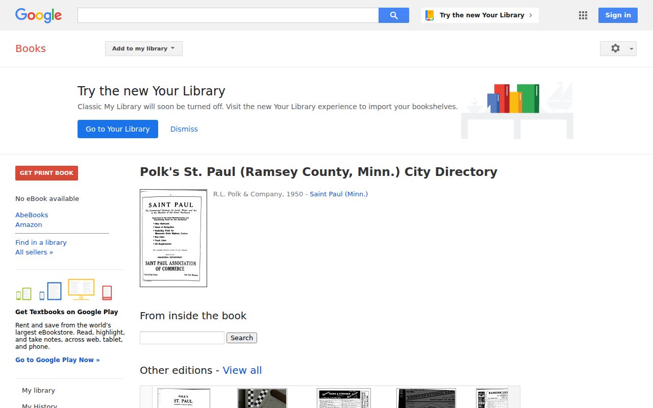
The digitized Polk material uses dense alphabetic columns and street or area headings. Entries may include a personal name, relationship indication, occupation abbreviation, employer or business clue, street address, room or corner reference, and historical widow notation when the edition uses it. Search the address in its old spelling or abbreviation and check whether that volume includes a reverse section. The fuller collection route belongs on the White Bear Lake City Directory page.
Local newspapers extend the household trail. WBLAHS has microfilm from 1887 through 2005 and an online genealogical index for 1887 through 1988. Its cemetery indexes, church records, obituary files, and city, village, and town minutes can add a date or connection, but they should be linked back to the address and property record rather than used alone.
White Bear Lake Record Limits
Previous residents research is strongest for house history, family history, estate questions, and local history when each fact remains tied to its source and date. The historical society's collection database is moving to MNCollections, and not every image is cataloged. Some material is off-site or requires an appointment. A blank search result does not settle the question, and a name match does not establish an address connection without a dated record.
Ramsey's Recorder and Resource Center, City Hall archives, WBLAHS, and the Minnesota Historical Society are the fallback chain when an online search stops. Minnesota's Government Data Practices Act generally opens government data unless another law classifies it as protected, so a custodian can explain the applicable access rule for a particular request.